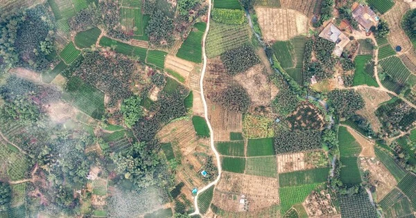
Machine learning can be used to help monitor climate-induced hazards in a number of ways. For example, machine learning algorithms can be used to analyze satellite imagery to detect changes in land use, vegetation, and water levels that may indicate an increased risk of flooding or drought. Additionally, machine learning can be used to analyze weather data to predict the likelihood of extreme weather events, such as hurricanes or heat waves. This can help emergency managers and other officials better prepare for and respond to these hazards. Machine learning can also be used to develop early warning systems for climate-induced hazards such as sea level rise, landslides, and wildfires.
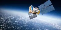
According to research presented last month at the American Geophysical Union’s annual meeting, combining satellite technology with machine learning may allow scientists to better track and prepare for climate-related natural hazards. Rising global temperatures have increased the intensity and frequency of natural phenomena such as hurricanes, snowstorms, floods, and wildfires over the last few decades.
While humans cannot prevent these disasters, the rapidly increasing number of satellites orbiting the Earth from space provides a greater opportunity to monitor their evolution, according to C.K Shum, co-author of the study and a professor at The Ohio State University’s Byrd Polar Research Center and in earth sciences. He said that potentially allowing people in the area to make informed decisions could improve the effectiveness of local disaster response and management.
Predicting the future is a difficult task, but our research aims to help create a system that will be able to monitor these climate-induced hazards in a way that allows for a timely and informed disaster response.
C.K Shum
“Predicting the future is a difficult task, but our research aims to help create a system that will be able to monitor these climate-induced hazards in a way that allows for a timely and informed disaster response,” Shum said. Shum’s research employs geodesy, the science of measuring the size, shape, and orientation of the planet in space, to investigate phenomena related to global climate change.
Researchers conducted several case studies using geodetic data collected from various space agency satellites to see if a combination of remote sensing and deep machine learning analytics could accurately monitor abrupt weather events such as floods, droughts, and storm surges in some parts of the world.
The team used these methods in one experiment to see if radar signals from Earth’s Global Navigation Satellite System (GNSS) that were reflected over the ocean and received by GNSS receivers located in towns offshore in the Gulf of Mexico could be used to track hurricane evolution by measuring rising sea levels after landfall. The team studied how seven storms, including Hurricane Hana and Hurricane Delta, affected coastal sea levels before they made landfall in the Gulf of Mexico between 2020 and 2021. They discovered a positive correlation between higher sea levels and the intensity of storm surges by monitoring these complex changes.
The data they used was collected by NASA and the German Aerospace Center’s Gravity Recovery And Climate Experiment (GRACE) mission, and its successor, GRACE Follow-On. Both satellites have been used to monitor changes in Earth’s mass over the past two decades, but so far, have only been able to view the planet from a little more than 400 miles up. But using deep machine learning analytics, Shum’s team was able to reduce this resolution to about 15 miles, effectively improving society’s ability to monitor natural hazards.
“Taking advantage of deep machine learning means having to condition the algorithm to continuously learn from various data inputs to achieve the goal you want to accomplish,” Shum said. In this instance, satellites allowed researchers to quantify the path and evolution of two Category 4 Atlantic hurricane-induced storm surges during their landfalls over Texas and Louisiana, Hurricane Harvey in August 2017 and Hurricane Laura in August 2020, respectively.
According to Shum, accurate measurements of these natural hazards could one day aid in hurricane forecasting. However, Shum would like to see countries and organizations make their satellite data more accessible to scientists in the short term, as projects that rely on deep machine learning frequently require large amounts of diverse data to help make accurate forecasts.
“Many of these novel satellite techniques necessitate significant time and effort to process massive amounts of accurate data,” Shum explained. “With more resources available to researchers, we may be able to develop technologies to better prepare people to adapt, as well as allow disaster management agencies to improve their response to intense and frequent climate-induced natural hazards.”