A maritime boundary is a theoretical partition of the Earth’s ocean surface areas based on physiographic or geopolitical parameters. It is a dividing line in the ocean or sea that defines a country’s territorial waters and exclusive economic zone (EEZ). As such, it frequently encompasses maritime features, limitations, and zones, as well as areas of exclusive national rights over mineral and biological resources. These limits are intended to control and regulate coastal states’ jurisdiction and rights over the waters adjacent to their coastlines.
Maritime boundaries are important for a variety of reasons, including resource management, navigation, and dispute resolution between neighboring countries. A maritime boundary is typically defined at a specific distance from a jurisdiction’s coastline. Although the term maritime boundary is used in some countries to refer to the borders of a maritime nation recognized by the United Nations Convention on the Law of the Sea, maritime borders are typically used to indicate the margin of international seas.
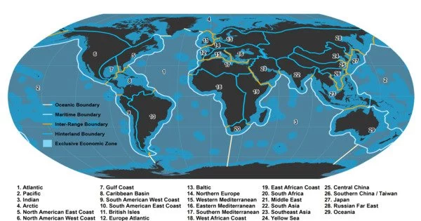
There are various sorts of maritime boundaries, and they are usually based on international law, bilateral agreements, or the UN Convention on the Law of the Sea (UNCLOS). The two primary types of maritime boundaries are:
- Territorial Sea Boundary: The territorial sea extends 12 nautical miles (about 22.2 kilometers) from a country’s coastline, and it is considered sovereign territory. Coastal states have full control over their territorial seas, including the right to regulate and enforce laws related to customs, immigration, and the environment. The territorial sea boundary is a line separating a state’s territorial waters from international waters.
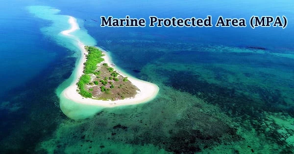
- Exclusive Economic Zone (EEZ) Boundary: Beyond the territorial sea, coastal states have an exclusive economic zone that extends up to 200 nautical miles (about 370.4 kilometers) from their coastline or to a distance defined by a bilateral agreement. In the EEZ, the coastal state has special rights to explore and exploit natural resources, such as fish, oil, and minerals, as well as to establish and enforce laws related to environmental protection.
Maritime boundaries are important for a variety of reasons, including resource management, navigation, and dispute resolution between neighboring countries. A maritime boundary is typically defined at a specific distance from a jurisdiction’s coastline. Although the term maritime boundary is used in some countries to refer to the borders of a maritime nation recognized by the United Nations Convention on the Law of the Sea, maritime borders are typically used to indicate the margin of international seas.
There are various sorts of maritime boundaries, and they are usually based on international law, bilateral agreements, or the UN Convention on the Law of the Sea (UNCLOS).