Identifying the exact locations of magma within a volcano can provide valuable information for predicting and preparing for volcanic eruptions. Magma is molten rock beneath the Earth’s surface that is rich in gas and can cause explosive eruptions when it rises to the surface.
Knowing the location of magma can help scientists monitor changes in the pressure, temperature, and composition of the magma, which can provide insight into the timing and potential size of an eruption. For example, if magma is detected moving closer to the surface, it may indicate that an eruption is imminent.
Cornell University researchers have discovered precise, microscopic clues to the location of magma storage, allowing them to better assess the risk of volcanic eruptions. Scientists have used satellite imagery, earthquake data, and GPS in recent years to search for ground deformation near active volcanoes, but these techniques can be inaccurate in determining magma storage depth. Scientists can pinpoint the location of magma to within a hundred meters by locating microscopic, carbon dioxide-rich fluids encased in cooled volcanic crystals.
We’re showing the enormous potential of this improved technique in terms of its speed and unprecedented accuracy. We can generate data within days of samples arriving from a site, resulting in better, near real-time results.
Esteban Gazel
“A fundamental question is where magma is stored in Earth’s crust and mantle,” said Esteban Gazel, professor of engineering and lead author of the study, published in Science Advances. “That location matters because you can gauge the risk of an eruption by pinpointing the specific location of magma, instead of other signals like hydrothermal system of a volcano.”
Gazel emphasizes the importance of speed and precision. “We’re showing the enormous potential of this improved technique in terms of its speed and unprecedented accuracy,” he said. “We can generate data within days of samples arriving from a site, resulting in better, near real-time results.”
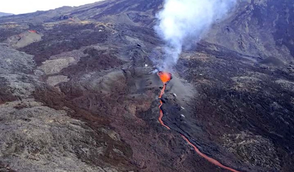
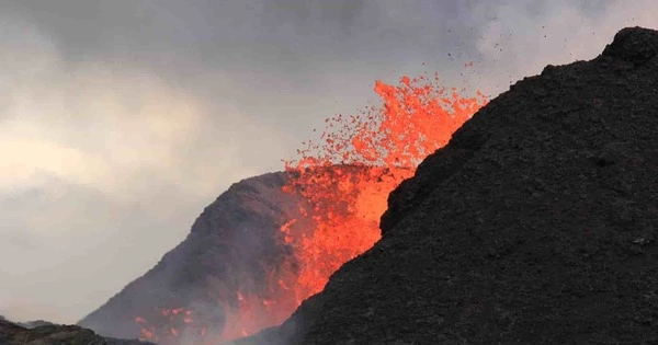
In volcanic events, magma reaches the Earth’s surface and erupts as lava, which can be explosive depending on how much gas it contains. When deposited as part of the eruption’s fallout, fragmented fine-grained material known as tephra can be collected and analyzed.

Gazel and doctoral student Kyle Dayton devised a method for precisely indicating depth using inclusions of carbon dioxide-rich fluids trapped within olivine crystals, as the carbon dioxide density of these inclusions is controlled by pressure.
These fluids can be quickly measured using an instrument to determine how far down the magma was stored and the depth of the scorching reservoir in kilometers.
Gazel and Dayton were part of a small, elite group of international researchers studying the Cumbre Vieja volcano on the Canary Island of La Palma. Gazel and Dayton sifted through tephra in search of crystals, which can be used to improve eruption models and forecasts.
There are several techniques that scientists use to locate magma, including seismology, ground deformation monitoring, and geochemical analysis. By combining data from these methods, scientists can build a more complete picture of the underground activity and better understand the behavior of a particular volcano. Overall, accurately locating magma within a volcano can improve volcanic eruption forecasts and aid in disaster preparedness efforts.


