New Ireland (Tok Pisin: Niu Ailan) or Latangai, an island of the Bismarck Archipelago, Papua New Guinea, southwestern Pacific Ocean. It takes its name from the island of Ireland. It is the largest island in the Province of New Ireland, located northeast of the Island of New Britain. Both islands, named after Otto von Bismarck, are part of the Bismarck Archipelago and are separated by the River of Saint George. The island is 3,340 square miles in size (8,651 square km). It extends from northwest to southeast for approximately 220 miles (350 km), but is very narrow, with the southeastern part just 30 miles (48 km) wide and the 150-mile (241-km) northwest arm not more than 15 miles (24 km) wide and as narrow as 5 miles (8 km).
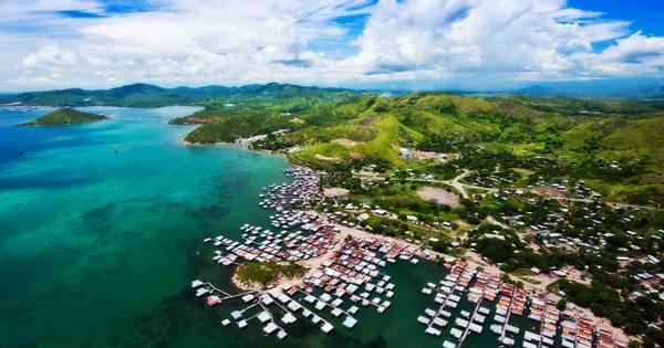
The town of Kavieng, situated at the northern end of the island, is the administrative center of the island and the province of New Ireland. Although the island was part of German New Guinea, Neumecklenburg was named after it (“New Mecklenburg”). Particularly in the south, where the Rossel Mountains rise to over 7,050 feet (2,150 meters), and in the north, where the Schleinitz Range reaches 4,859 feet (1,481 meters), it is typically rugged. In the Hans Meyer Range, Mount Taron is the highest mountain (2,340 m, 7,680 ft). Tirpitz, Schleinitz, Verron, and Rossel are additional mountain ranges. Between two and five degrees south of the equator lies the island. The dense rainforest was mainly the initial ground cover.
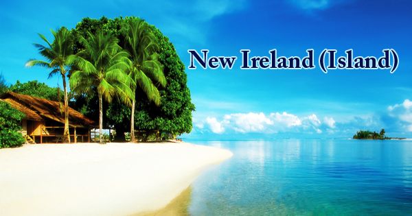
New Ireland (Island)
Most of the northwest is dominated by the Limestone highlands, with the Lelet Plateau averaging an elevation of around 2,000 feet (610 meters). Lihir and Ambitle, the neighboring islands to the east, exhibit solfatarium and hot-spring activity, but no active volcanoes remain. There is a rim of coastal plain leached by bush burning for decades, and there are few good harbors. New Ireland is encircled in the southwest by the Bismarck Sea and in the northeast by the Pacific Ocean. After sailing from what is now Papua New Guinea, the first settlers of the Bismarck Archipelago arrived about 33,000 years ago. Around 3,000 years ago, later arrivals included the Lapita people. Kabai, Malagan, and Tubuan are three distinct cultural traditions that are characteristic of the native people of New Ireland.
The Dutch navigator Jakob Le Maire, who claimed it was part of a landmass like New Britain and New Guinea, spotted New Ireland in 1616. When the British explorer Philip Carteret discovered St. George’s Channel in 1767 and named the island Nova Hibernia, this hypothesis was disproved (New Ireland). Whaling ships often called for water, wood, and supplies on the island in the 19th century. The Resource was the first registered whaler to visit in 1799. Islanders often worked on these vessels as crewmen. The last confirmed visitor to whaling was the Belvedere in 1884.
It was captured by the Japanese during World War II (1942), and it became part of the UN Trust Territory of New Guinea, administered by Australia after the war. It became a part of that country when Papua New Guinea gained independence in 1975. It is one of two ecoregions of the island. The lowland rainforests of New Britain-New Ireland range from sea level to an elevation of 1000 meters. The montane rain forests of New Britain-New Ireland cover the New Ireland Mountains at an elevation of 1000 meters. Commercial growth is dominated by the production of copra, especially on New Ireland’s east coast. Cocoa, rubber, and oil palms are also grown, and the waters to the north are among the best in the Pacific for skipjack tuna fishing.
In New Ireland and the other eastern islands of Papua New Guinea (New Britain, Bougainville Island), as well as on the Papua New Guinea mainland, widespread deforestation and destruction of lowland rainforests is a concern. In the caldera of Luise Volcano on Lihir Island, east of New Ireland, a large gold deposit was discovered in 1982 and mining began in 1997. The deposit was one of the largest in the world at the time of its discovery, yielding some 600,000 ounces (17,000 kg of gold annually at the beginning of the 21st century. Almost 60% of their forests are accessible for logging, and 63% of the accessible forests were deforested or degraded by 2002. The bulk of the people of New Ireland live in the north. This section is administered from Kavieng, the principal port connected to Samo by an east-coast route. The central part of the island is controlled by the Konos and the southern part by the Namatanai.
Information Sources: