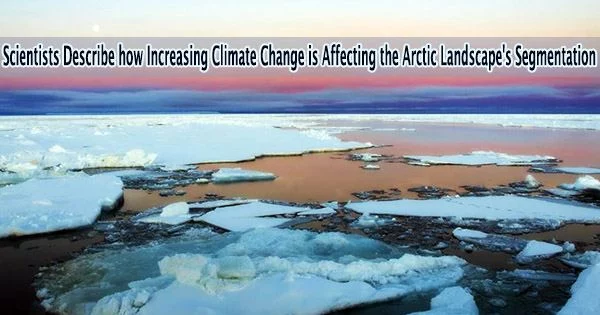
According to research led by Simon Fraser University and the University of British Columbia, the Canadian High Arctic experienced enhanced global warming in only the last 60 years, which caused a significant change in the structure of a river network carved into a permafrost terrain.
The team created a new understanding of the physical controls governing the rate and pattern of river channel development in these vulnerable landscapes by demonstrating a strong interaction between climate change, the freeze-thaw dynamics of polygonal ground, the delivery of surface water by floods, as well as snow and ice melting.
“One of the key processes we identified in the evolution of stream networks is that their development is influenced by the way water flows through fields of roughly 10 meter-wide polygons, created through the freezing and thawing of the soil in Arctic regions,” says Shawn Chartrand, assistant professor in the School of Environmental Science at Simon Fraser University, and lead author of research published in Nature Communications.
“This influence is also affected by the timing, magnitude and duration of flood events, as well as whether the underlying sediment particle substrates are frozen, or partially frozen.”
Axel Heiberg is an uninhabited island, and Chartrand is a member of a global study team that came there as one of the most dramatic summer warming occurrences ever was beginning. Their field research focused on the island’s Muskox Valley, east of the Muller Ice Cap.
Researchers combined air photographs from 1959 with field observations and state-of-the-art Light Detection and Ranging (LiDAR) data they collected in 2019 to understand how the Axel Heiberg Island landscape has evolved over a 60-year period.
Warming air temperatures play a role here. We predict that erosion and sediment transport is sensitive to whether floods occur before or after a period of elevated air temperatures, because this influences the depth to which sediment particle substrates are thawed, and thus effects whether the particles are transported by flood waters.
Professor Shawn Chartrand
“Interconnected physical processes can deepen river channels and expand river networks, creating more surface area for heat exchange, which can increase local rates of permafrost thaw,” says study co-author Mark Jellinek, professor of Earth, Ocean and Atmospheric Sciences at the University of British Columbia. “These cascading effects can enhance the release of greenhouse gases in the Arctic as organic soil carbon thaws and the permafrost retreats.”
Using the LiDAR data, the team produced a Digital Elevation Model (DEM) of a 400-meter section of the valley.
“Through modeling of how water moves through the landscape, we found that flood waters routed through interconnected polygon troughs enhances the likelihood of erosion and channel development,” says Chartrand.
Flooding from the valley lake, seasonal snowpack and ground ice melt, as well as other sources of water, converge down valley, creating the ideal environment for the movement of coarse silt and the formation of channel networks down the valley floor. However, the timing of flooding during peak thaw can influence how much erosion occurs.
“Warming air temperatures play a role here,” he explains. “We predict that erosion and sediment transport is sensitive to whether floods occur before or after a period of elevated air temperatures, because this influences the depth to which sediment particle substrates are thawed, and thus effects whether the particles are transported by flood waters.”
The challenge moving forward, according to researchers, will be to use this data to generate physical models that can anticipate how Arctic river networks will change over the coming decades, which will be characterized by both warming and growing climate variability.
They emphasize the urgency of the situation since growing river networks would possibly have serious negative effects on coastal wildlife, waters, and humans by introducing more nutrients, metals, and sediment into already vulnerable watersheds and fisheries.
The research team also included scientists from the Finnish Geospatial Research Institute, Laboratoire de Planétologie et Géosciences (UMR CNRS 6112), University of Western Ontario and the Jet Propulsion Laboratory.