A long-awaited milestone with tremendous consequences for industry, human understanding, and national security has been reached thanks to quantum technology.
Researchers from the UK National Quantum Technology Hub in Sensors and Timing from the University of Birmingham have published their findings in Nature. It’s the first time a quantum gravity gradiometer has been used outside of a lab setting.
The quantum gravity gradiometer, which was created for the Ministry of Defence and as part of the UKRI-funded Gravity Pioneer project, was used to detect a tunnel buried one metre below the ground surface in real-world settings. It triumphs in an international competition to bring the technology outside.
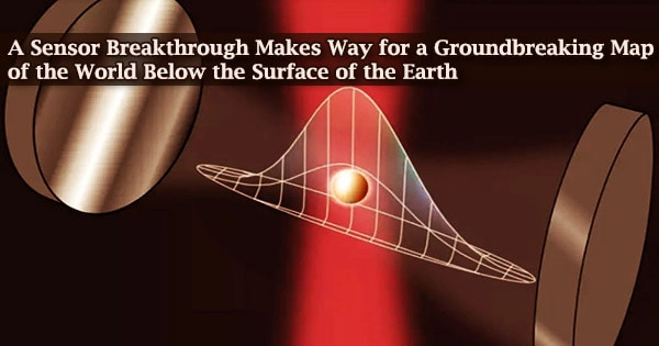
The sensor detects changes in microgravity using quantum physics concepts, which are based on influencing nature at the sub-molecular level.
The results pave the way for commercially viable mapping of what resides below ground level.
This will mean:
- Reduced costs and delays to construction, rail, and road projects.
- Improved prediction of natural phenomena such as volcanic eruptions.
- Discovery of hidden natural resources and built structures.
- Understanding archaeological mysteries without damaging excavation.
Professor Kai Bongs, Head of Cold Atom Physics at the University of Birmingham and Principal Investigator of the UK Quantum Technology Hub Sensors and Timing, said:
“This is an ‘Edison moment’ in sensing that will transform society, human understanding, and economies. With this breakthrough we have the potential to end reliance on poor records and luck as we explore, build and repair. In addition, an underground map of what is currently invisible is now a significant step closer, ending a situation where we know more about Antarctica than what lies a few feet below our streets.”
For national Defence and Security, accurate and rapid measurements of variations in microgravity open up new opportunities to detect the otherwise undetectable and navigate more safely in challenging environments. As gravity sensing technology matures, applications for underwater navigation and revealing the subterranean will become possible.
Dr. Gareth Brown
A variety of environmental conditions limit current gravity sensors. Vibration is a special issue, as it reduces the measurement duration of all gravity sensors used in survey applications. Surveys can become faster, more comprehensive, and less expensive if certain limits are overcome.
Dr. Michael Holynski, Head constructed A gravity gradiometer of Atom Interferometry at Birmingham and lead author of the work, and his colleagues. To successfully implement quantum technology in the field, their method overcomes vibration and a range of other environmental difficulties.
The successful identification is the culmination of a long-term development program that has been intimately linked to end-users from the start, coordinated by Professor Nicole Metje of the School of Engineering.
Future gravity surveys will be cheaper, more reliable, and delivered 10 times faster as a result of this accomplishment, cutting survey time from a month to a few days. It has the potential to expand the scope of gravity surveying by providing a new perspective on the subterranean.
Professor George Tuckwell, Director for Geoscience and Engineering at RSK, said:
“Detection of ground conditions such as mine workings, tunnels, and unstable ground is fundamental to our ability to design, construct and maintain housing, industry, and infrastructure. The improved capability that this new technology represents could transform how we map the ground and deliver these projects.”
Dr. Gareth Brown, joint Project Technical Authority for Quantum Sensing and Senior Principal Scientist at Dstl, said:
“For national Defence and Security, accurate and rapid measurements of variations in microgravity open up new opportunities to detect the otherwise undetectable and navigate more safely in challenging environments. As gravity sensing technology matures, applications for underwater navigation and revealing the subterranean will become possible.”
The discovery is the result of a collaboration between the University of Birmingham, RSK, Dstl (the Defence Science and Technology Laboratory, part of the UK Ministry of Defence), and Teledyne e2v, a provider of environmental, engineering, and sustainability solutions.
The project is financed by UKRI as part of the UK National Quantum Technologies Programme and is carried out under contract with the Ministry of Defence.