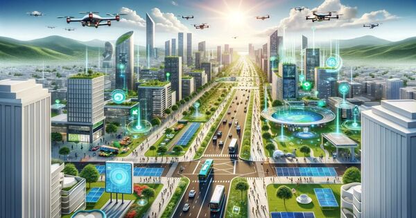
From heatwaves to pandemic viruses, urban areas around the world face a variety of problems. Researchers at Hong Kong Polytechnic University are using artificial intelligence (AI) and informatics to solve rising environmental challenges and urban expansion.
Innovative geospatial and AI technologies provide groundbreaking solutions and insights into the dynamic changes taking place in our natural and social environments. GeoAI applications are fast developing in a variety of domains, including transportation, urban and public safety, planning, climate change, and natural disasters.
Prof. Qihao WENG, Chair Professor of Geomatics and Artificial Intelligence of the Department of Land Surveying and Geo-Informatics, and Global STEM Professor, established the PolyU Research Centre for Artificial Intelligence in Geomatics (RCAIG), to focus on the development of original and innovative AI methodologies and technologies for geomatics and their applications in urban areas, with the goal of it becoming a global R&D hub in GeoAI. Prof. Weng has recently been honoured with the 2024 American Association of Geographers (AAG) Wilbanks Prize for Transformational Research in Geography and the 2024 AAG Remote Sensing Specialty Group Lifetime Achievement Honor Award for his ground-breaking contributions in geography.
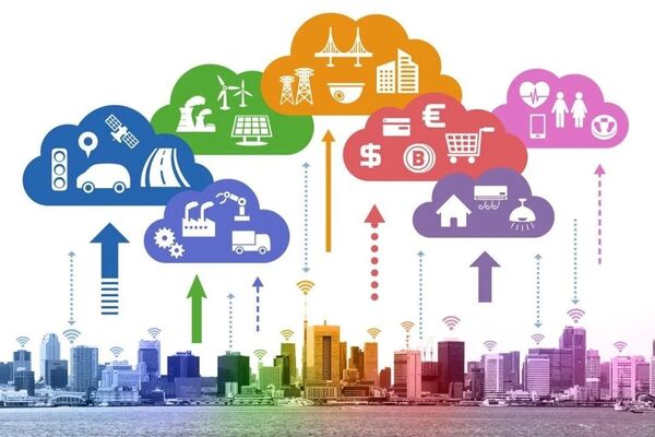
Our research focuses on diverse fields including Geospatial big data and AI, remote sensing, ground-based sensors, navigation and positioning, surveying and geodesy, laser scanning and photogrammetry. These technologies play a crucial role in addressing and resolving key issues.
Prof. WENG
Earth observations Prof. WENG stated that by integrating cutting-edge geospatial technology and artificial intelligence, we are at the forefront of addressing global environmental and socioeconomic concerns. Our research covers a broad range of topics in earth observation and geoinformatics.”
Satellite observations are vital tools for our community, which relies on satellite photos, videos, and data to make informed decisions about urban resilience and public health. Satellite observations, for example, assist us understand how extreme heatwaves affect population exposure and aid in the development of urban flood monitoring algorithms. Real-time data collection is also useful in applications including traffic conditions, air pollution, natural disasters, population migration, and urban land use.
Prof. WENG said, “Earth observation is important as a guiding compass for understanding changes in the environment and society. Our research focuses on diverse fields including Geospatial big data and AI, remote sensing, ground-based sensors, navigation and positioning, surveying and geodesy, laser scanning and photogrammetry. These technologies play a crucial role in addressing and resolving key issues.”
In particular, GeoAI has revolutionised building monitoring by utilising thousands of learnable parameters. An illustration of this is its ability to automatically learn and identify general patterns of buildings such as colour and shape. This technology is crucially applied to detect disaster-damaged buildings, retrieve building height, identify structural changes, and estimate building energy consumption. As a result, GeoAI has emerged as a mainstream solution for more efficient and insightful building monitoring.
Environmental monitoring
As the world becomes more urbanized, cities become the focal point of many areas of human progress, such as construction and environmental monitoring, conservation efforts, urban safety, and the effects of climate change.
These systems can detect and track changes in habitats, urbanization, and deforestation patterns by combining AI techniques such as deep neural networks and remote sensing approaches. Furthermore, monitoring vegetation’s carbon uptake is critical for mitigating climate change and establishing effective mitigation techniques.
For urban resilience and public health, these technologies aim to enhance the ability of urban areas to withstand and recover from various challenges such as extreme heatwaves, while promoting the well-being and sustainable development of urban population.
In the field of urbanisation monitoring, research team of the RCAIG has developed an impervious surface area (ISA) based urban cellular automata (CA) model that can simulate the fractional change of urban areas within each grid by utilising annual urban extent time series data obtained from satellite observations. By characterising the historical pathways of urban area growth under different levels of urbanisation, the model offers more detailed insights compared to traditional binary CA models. This demonstrates its great potential in supporting sustainable development.
Research conducted by Ms Wanru HE, an RCAIG doctoral research assistant and the team, titled “Modeling gridded urban fractional change using the temporal context information in the urban cellular automata model” was published on Cities. Their model effectively capture the dynamics of urban sprawl with significantly improved computational efficiency and performance, and it enables the modelling of urban growth at regional even global level, under diverse future urbanisation scenarios.
GeoAI for traffic management
GeoAI uses machine learning and deep learning to successfully evaluate complex data, enabling applications such as real-time traffic control. GeoAI allows for accurate traffic flow forecast, route optimisation, accident warnings, and traffic network planning by integrating various data modalities such as text, pictures, and knowledge graphs. As a result, this helps promote smart traffic management.
To improve the effectiveness of ride-hailing platforms and achieve intelligent management of their services, the RCAIG research team created a multi-agent order matching and vehicle repositioning (MAMR) strategy. This revolutionary technology focuses on coordinating the supply and demand for ride-hailing services, with the ultimate goal of increasing overall efficiency.
This approach offers a groundbreaking strategy for addressing two essential characteristics of efficient ride-hailing services. First, it addresses order matching by efficiently allocating orders to available vehicles. Second, it contains proactive vehicle repositioning, which involves carefully deploying idle cars to areas with possibly high demand. Based on multi-agent deep reinforcement learning (MARL), this innovation handles complicated transportation planning problems and provides a new viewpoint on long-term spatiotemporal planning. Ms Mingyue XU, another RCAIG researcher, and the team published their research, “Multi-agent reinforcement learning to unify order-matching and vehicle-repositioning in ride-hailing services,” in the International Journal of Geographical Information Science.
The study yielded superior results, including lower passenger rejection rates and driver idle times. The RCAIG and POLEIS at PolyU focus on geospatial artificial intelligence (GeoAI) and do research in a variety of sectors, including urban building and energy, urban safety and security, environmental monitoring and conservation, and urban resilience and public health. This is consistent with the 11th United Nations Sustainable Development Goal (SDG11), which seeks to build inclusive, safe, resilient, and sustainable cities and human settlements.
About RCAIG The research focus of RCAIG is on exploring and applying AI in geomatics. In particular, GeoAI represents the fusion of AI with geospatial data and technology, utilising a multidisciplinary approach to analyse, predict and visualise complex patterns within geospatial data. Its significance lies in its ability to provide profound insights and more accurate results compared to conventional geospatial techniques.