A satellite is an object that orbits a larger object, such as a planet. The earth’s moon is an example of a natural satellite; weather satellites are the result of human ingenuity. The weather satellite is a type of satellite that is primarily used to monitor the weather and climate of the Earth. This satellite is a man-made satellite that orbits the Earth and gives us information about the weather. Satellites can be polar orbiting, covering the entire Earth asynchronously, or geostationary, hovering over the same spot on the equator. Weather satellites are put into one of two kinds of orbits around the Earth, each of which has advantages for weather monitoring.
A weather satellite is an orbiting platform upon which instruments are placed for the observation of weather systems and the measurement of atmospheric properties from space.
Weather satellites carry instruments called radiometers (not cameras) that scan the Earth to form images. Powerful rockets take these satellites into orbit. These instruments usually have some sort of small telescope or antenna, a scanning mechanism, and one or more detectors that detect either visible, infrared, or microwave radiation for the purpose of monitoring weather systems around the world.
Meteorological satellites see more than clouds: city lights, fires, effects of pollution, auroras, sand and dust storms, snow cover, ice mapping, boundaries of ocean currents, energy flows, etc. Other types of environmental information are collected using weather satellites. After the satellites gather the information, they transmit it back to Earth, where it is collected and analyzed by meteorologists, or people who study weather.
Weather satellites can see very long distances because they fly hundreds and sometimes thousands of miles above the Earth. Weather satellite images helped in monitoring the volcanic ash cloud from Mount St. Helens and activity from other volcanoes such as Mount Etna. Smoke from fires in the western United States such as Colorado and Utah have also been monitored.
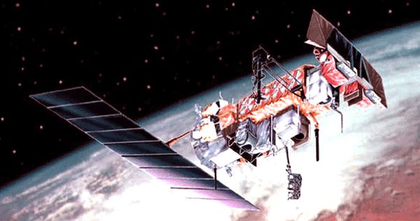
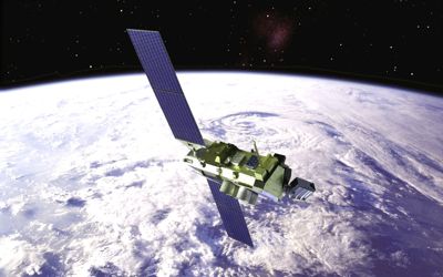
There are two main types of weather satellites, defined by their orbital characteristics: Polar Operational Environmental Satellites (POES) and Geostationary Operational Environmental Satellites (GOES). Most satellite images seen on the local television news or The Weather Channel are produced by GOES satellites. For instance, GOES-East and GOES-West provide coverage of much of the Western Hemisphere, from the western coast of Africa to the West Pacific, and the Arctic to the Antarctic. The European Space Agency’s Meteosat satellite provides coverage of Europe and Africa.
The use of weather satellites has improved the ability to forecast weather significantly. Collectively, weather satellites flown by the U.S., Europe, India, China, Russia, and Japan provide nearly continuous observations for a global weather watch.
Information Source: